0093-744544394
enquiries@engeomaps.com
-
Web Mapping
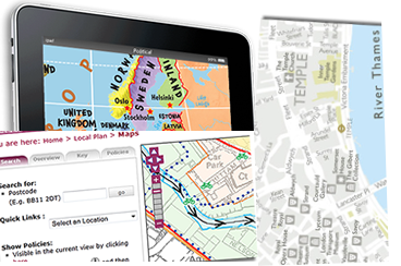
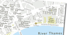
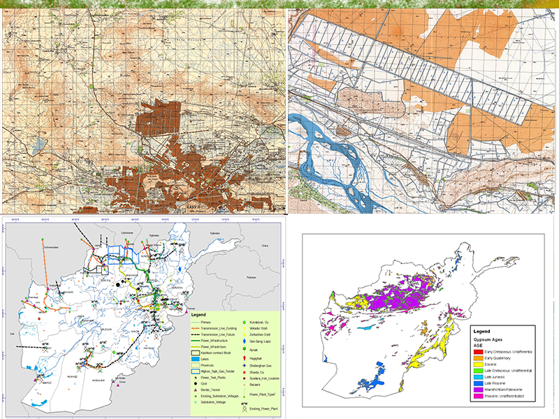
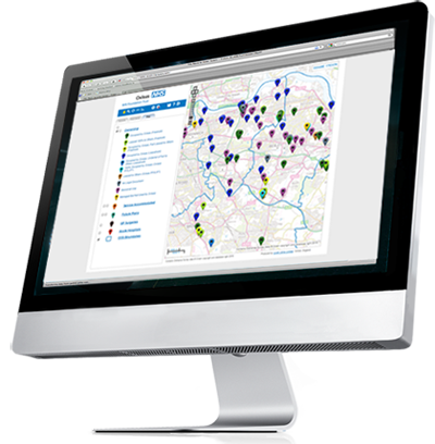
Web mapping has seen huge growth in recent years and there are now many different ways of delivering online mapping. EnGeo Maps have a wide range of skills in delivering online cartographic information.
Just some of the things we do:
Expertise on taking a printed map into the web environment Single scale static web maps, hyperlinks to further information, Using animation to bring web mapping to life, and Using out-of-the-box mapping APIs such as Google Maps, OpenStreetMap, Updating web maps through intuitive Management Modules and Hosting, maintenance and support
-

Construction Maps
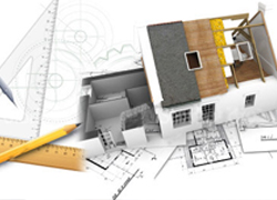
fEngeoMaps create lots of Maps related to building which incloude houses apartmans and markets and company buildings for these designs we use AutoCAD® Map 3D software to get broad access to CAD and GIS data to support planning, design and data management.
With AutoCAD® Map 3D software, you can access and use CAD and GIS analysis from a range of sources. View images and video to see how comprehensive gas, water, wastewater and electric industry data models can help you more easily organise disparate asset information and apply industry standards and business requirements for more information you can contact with us.

