0093-744544394
enquiries@engeomaps.com
Featured Services


About Us
The Enviro and Geo Mapping Company was established almost a decade ago. Our team combines a love of cartography, a passion for great design to create this distinctive and stylish take on a well-known form. Being a small team gives us the wonderful opportunity to really get to know and serve our customers. It's really important to us that you're happy with your map and our service. So if you're not sure which map is best for you, please give us a call, we're here and ready to help!. The company has a very low rate of staff turnover and has a reputation for high quality work amongst its clients in many market sectors.The company is now owned by Managing Director, David Stephens and Sales and Marketing Director, Liz Murray after a management buyout from Times Media Group in 2014.Enviro and Geo Mapping Company is an Ordnance Survey Licensed Partner and a member of the Esri Partner Network. We also work with other data and software platforms on an international scale, which positions us well to provide independent advice and guidance to our clients.
What we Do
Enviro and Geo Mapping Company Limited is an enthusiastic team of GIS and digital mapping experts serving Government and private enterprise. Unlike its larger competitors, Enviro and Geo Mapping Company is independent, able to react to change quickly and is responsive to individual needs. Because of its independence, the company is able to offer its clients the best choice from a range of solutions and its customer-oriented approach facilitates individual attention. Enviro and Geo Mapping Company has established long term relationships with many of its clients, These clients come back to Enviro and Geo Mapping Company again and again because of the long term value and individual service that Enviro and Geo Mapping Company is able to provide.
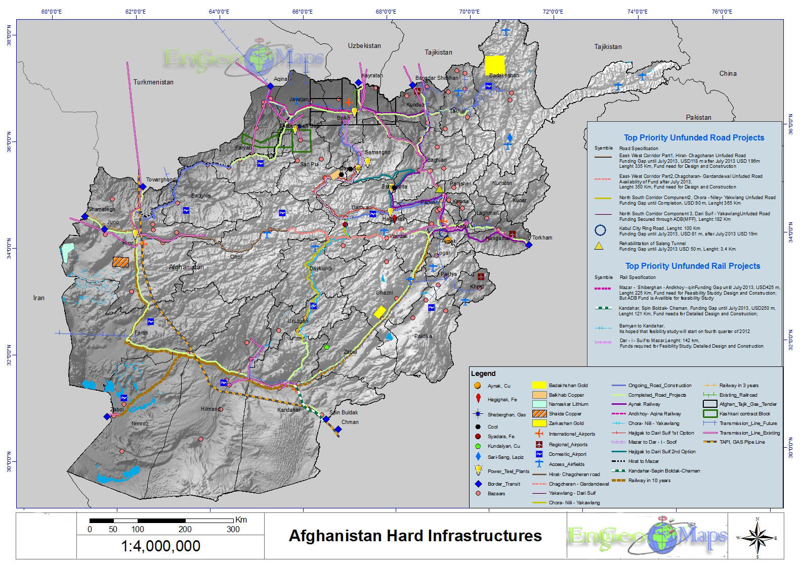
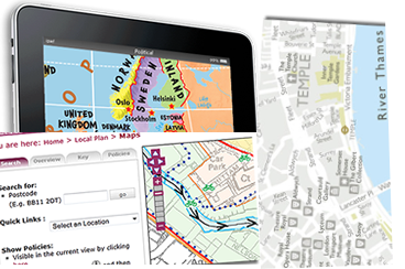
Since the early 2008 Enviro and Geo Mapping Company has employed GIS and digital production techniques that encompass the stages of data sourcing and integration, geospatial database design and population, visualisation and export of mapping to a graphics environment and the delivery of static maps and interactive geographic applications