0093-744544394
enquiries@engeomaps.com
-

GIS Software
EnGeo Maps recommend market leading Esri's ArcGIS and QGIS range of software. This range of products offer the best scalable suite of GIS software products. Importantly, Geo Enviro hold multiple in-house ArcGIS licences for our own production purposes and so feel particularly confident in recommending this GIS software solution. There is a wealth of knowledge regarding the various types of GIS software and also the extensions available and we can also advise on the licensing and platform options available. We are familiar with installation procedures onto desktop and server environments and can provide all supporting GIS software services. EnGeo Maps can remain a point of contact following software installation but also advise on the maintenance contract available from the GIS software vendor.
-
GIS Mapping Data
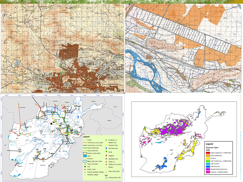
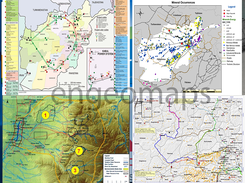
GIS mapping data can mean different things to different people and EnGeo Maps can help and advise on these matters. The data required for use in a typical desktop GIS mapping may include; base mapping at different scales, aerial imagery, overlay data such as postcode boundaries or census data or client specific data relevant to the project. Our GIS mapping team have a wide range of skills in the capturing, converting and sourcing of many types of data for use in the GIS mapping environment. We also have excellent skills in the design and creation of relational GIS mapping databases. A good GIS mapping database requires a suitable data model. Our GIS mapping specialists can advise on, design and implement relational GIS mapping databases as well as creating the necessary supporting metadata to Afg.
-
GIS Training
As part of our wider GIS Consultancy services, EnGeo Maps have been offering flexible and bespoke training and support solutions to varied GIS clients for many years. In many cases, our GIS Consultants will have been working with a client in providing Consultancy, Software and Data preparation before setting up training and support arrangements. After careful consideration of the user"s aspirations and skill levels, we are able to provide a particularly bespoke and flexible approach to training and support which goes beyond that offered by the major software vendors. Our GIS training differs from the usual classroom environment because we tend to customise training to reflect the aspirations and particular datasets of the client. Because EnGeo Maps are not in the business of selling GIS software per se, we have developed a flexible approach to ongoing client support which differs from the standard maintenance agreements; we can offer service level agreements in the form of telephone and personal support under a call - off arrangement. EnGeo Maps have provided ArcGIS training and support services to local government, health professionals, estate managers, housing associations, manufacturing companies and risk
-
GIS Reporting
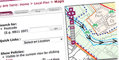
As part of EnGeo Maps GIS Consultancy Services offering, we provide a GIS reporting service allowing clients to benefit from GIS expertise at their convenience without the need for investment in software, data and training. A client may choose GIS reporting for reasons of convenience and time, allowing them to obtain some map output or spatial analysis in a limited time frame. A skilled GIS Consultant will be appointed to the client to aid discussions around issues of data, design and final output. A client requiring such GIS and Map Reports will have in mind a specific deliverable, such as a set of employee distribution maps or a particular piece of spatial analysis using third party data such as postcode boundaries or Census data. The maps can be provided in a paper and/or digital format with accompanying tabular data and will usually include some form of branding or title information. The client often holds a data in the form of an address listing which can be then be geocoded to create a spatial dataset. Because EnGeo Maps have the necessary GIS software licenses, base mapping and expertise in-house, analysis and reporting can be undertaken for a fixed fee with minimal involvement from the client.

